
From home to gate. One continuous, measurable passenger journey.
ZDEVCO delivers technology-agnostic passenger flow (pax flow) tracking and curbside intelligence for airports: privacy-protected video analytics, LiDAR, wireless Wi-Fi and Bluetooth sensing, and predictive queue models that tell operators what is happening now and what will happen next.
Airports are the next frontier for the systems we already run
For more than 16 years ZDEVCO has operated gate, yard, and corridor sensing programs for the Port of Oakland, state DOTs, and freight operators: 1.2M+ truck entries per year, 54+ camera analytics networks, and truck parking availability systems across seven states. Airport passenger flow, or pax flow as the industry calls it, is the same engineering problem in a different building. People and vehicles arrive, queue, dwell, and move on. We instrument that journey, measure it accurately, and turn it into live wait times, forecasts, alerts, and decisions that airport operations, TSA coordination, and ground transportation teams can act on.
We are technology agnostic. We do not sell a single sensor. We select, integrate, and operate the best-fit mix of sensing for each zone of the airport, and we pair it with our own cloud platform, dashboards, and API-driven prediction models. The result is a pax flow management system and curbside management program that an airport can own, scale, and trust.
One integrated, turnkey system: pax flow + curbside management
Airports usually buy pax flow and curbside management as two separate systems from two vendors. ZDEVCO delivers them as one: the same sensors, the same platform, the same prediction models, and one accountable team from design through long-term operations. Sense, predict, act.
Sense
Technology-agnostic sensing in every zone: privacy-protected video, LiDAR, Wi-Fi and Bluetooth, and emerging sensors, fused with airport system feeds (AODB, TSA lane status, parking, transit) over open APIs.
Predict
Queueing and machine learning models turn live measurements into forecasts: checkpoint wait by lane type, curb lane occupancy, and true home-to-gate travel time, refreshed every 60 seconds.
Act
Operations dashboards, signage and FIDS, the airport website and app, TSA Real Time Wait Time, alerts, and an open REST API so the airport and its partners can act on the same picture.
Proposal-ready stills: system architecture (PNG) and home-to-gate journey (PNG).
The journey we measure
Home and roadway
Regional travel time to the airport from connected vehicle, probe, and roadway data.
Curbside
Drop-off and pickup dwell, lane occupancy, taxi, rideshare, shuttle, and transit arrivals.
Check-in
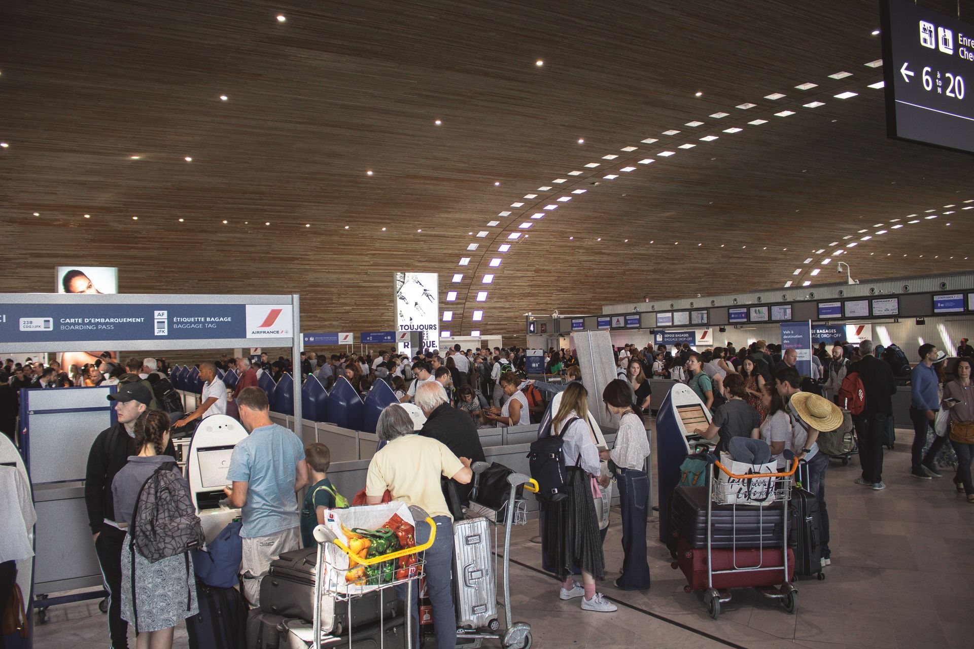
Counter and kiosk queues, curbside check-in, and overflow into non-standard areas.
TSA checkpoint
Queue entry to recompose: live and forecast wait by lane type, lanes open, staffing.
Gate
Walk time and arrival at gate to close the loop on true home-to-gate travel time.
Baggage claim
Dwell at carousels, arriving passengers separated from meet-and-greet traffic.
Technology agnostic by design
Every zone of an airport has a different geometry, lighting condition, privacy expectation, and infrastructure budget. We match the sensor to the zone and fuse the results into one picture. Below are the four sensing families we deploy today.
AI video analytics, privacy first
Where cameras are the right tool, our AI classifiers detect and track people and vehicles as anonymous objects. Faces are masked on the edge device before any frame is stored or transmitted. The system outputs counts, dwell times, paths, and queue lengths, never identities.
- Works with existing airport CCTV and cabling
- No facial recognition, no biometric templates, no PII retained
- Configurable retention, encryption, and role-based access
How it works
AI object detection and multi-object tracking run on an edge appliance fed by existing or new cameras. Each person or vehicle becomes an anonymous track with a position over time. Faces are masked inside the pipeline before any frame is stored, and only metadata leaves the device.
Counts by zone and direction, queue length and queue entry-to-exit wait, dwell time, path and flow heatmaps, and at the curb, vehicle class and lane dwell.
Curbside roadways where vehicles and pedestrians mix, check-in halls, baggage claim (arriving passengers separated from meet-and-greet), and overflow areas.
Manual ground-truth counts during commissioning, accuracy published per zone, continuous drift checks against sample counts, and wait times validated against timed walks.
Reuses existing CCTV streams where angles and image quality allow; new cameras are PoE powered; the edge appliance lives in an IDF. No new conduit where cable paths already exist.
No facial recognition or biometrics. No raw video retained by default (a short encrypted diagnostic buffer is optional). Metadata only to the cloud, role-based access, retention schedule set with the airport.
3D LiDAR and time-of-flight sensing
LiDAR sees shapes and motion, not faces. It is our preferred choice for checkpoint queues, sterile areas, and anywhere cameras are unwelcome. Ceiling-mounted sensors deliver precise counts, queue position, and walking speed in any lighting.
- Anonymous by physics: no images are ever produced
- Centimeter-level accuracy for queue length and spacing
- Low infrastructure footprint, PoE powered
How it works
Ceiling or wall-mounted sensors emit eye-safe laser pulses and measure time of flight to build a live 3D point cloud. Perception software clusters the points into people and objects and tracks them as they move. No image is ever formed.
Precise counts, queue length and spacing, position and walking speed, wait time from queue entry to lane exit, lane utilization, occupancy, and crowd density.
TSA checkpoints and recompose areas, sterile corridors, check-in queues, and any area where cameras are unwelcome or lighting changes through the day.
Centimeter-level positioning. Count accuracy validated against manual counts at commissioning; multi-sensor fusion removes occlusion gaps in dense queues.
PoE sensors on existing switches, ceiling heights from roughly 3 to 12 m, mounting to existing structure, coverage planned from floor plans and a site walk.
Point clouds are processed in real time and discarded. Only anonymous track metadata leaves the sensor. Personal identification is impossible by design.
Wi-Fi and Bluetooth signal sensing
Passive wireless sensors detect the anonymous radio “shadow” of passenger devices as they pass each zone. Hashed, rotating identifiers let us compute true curb-to-gate travel times and dwell without knowing who anyone is.
- Journey times across the whole terminal with a handful of nodes
- Identifiers hashed at the sensor and rotated, never stored raw
- Battery or PoE sensors, deployable in days
How it works
Passive sensors listen for Wi-Fi probe and Bluetooth advertising signals from passenger devices. Each identifier is hashed with a rotating salt at the sensor. The same hash seen at successive nodes yields the journey time between zones.
Curb-to-gate and zone-to-zone travel time, dwell per zone, relative crowding, and aggregate presence and repeat-visit trends.
Whole-terminal journey time with a handful of nodes, roadway-to-terminal arrival time, baggage claim dwell, long corridors, and early pilots where installation must be minimal.
Sample based rather than a full count. Calibrated against LiDAR or video counts in the same zone; MAC randomization handled with hashing and statistical models. Best for travel time and trend, not precise counts.
Compact battery or PoE nodes, no cabling needed for pilots, deployable in days.
No raw MAC addresses stored, hashes rotated daily, nothing linked to a person or account, aggregate outputs only.
 Emerging technologies
Emerging and complementary sensing
We continuously evaluate new sensing in our lab and pilots so airports are not locked into one vendor: 3D stereo and thermal sensors, mmWave radar, mobile app opt-in location, and connected vehicle data at the roadway.
- Vendor-neutral evaluation and side-by-side accuracy testing
- Pilot first, then scale what proves out
- Sensors swap in and out behind one common platform and API
How it works
Our lab and pilot program evaluates new sensing alongside proven modes, under the same platform and API, so an airport can adopt new technology without replacing its system.
3D stereo and thermal sensors for counting in difficult lighting, mmWave radar for curb vehicle speed and position, opt-in mobile app location, and connected vehicle and probe data for the roadway leg.
The home-to-airport roadway leg, curb vehicle dynamics, and locations where an existing sensor type falls short.
Side-by-side testing against ground truth and incumbent sensors, with accuracy documented before any production use.
Pilot kits run on temporary power and cellular backhaul; production moves to PoE and the airport network.
Every candidate must meet the same privacy bar: no identities, hashed or aggregate outputs, and documented retention.
Checkpoint and queue intelligence: the core of a pax flow system
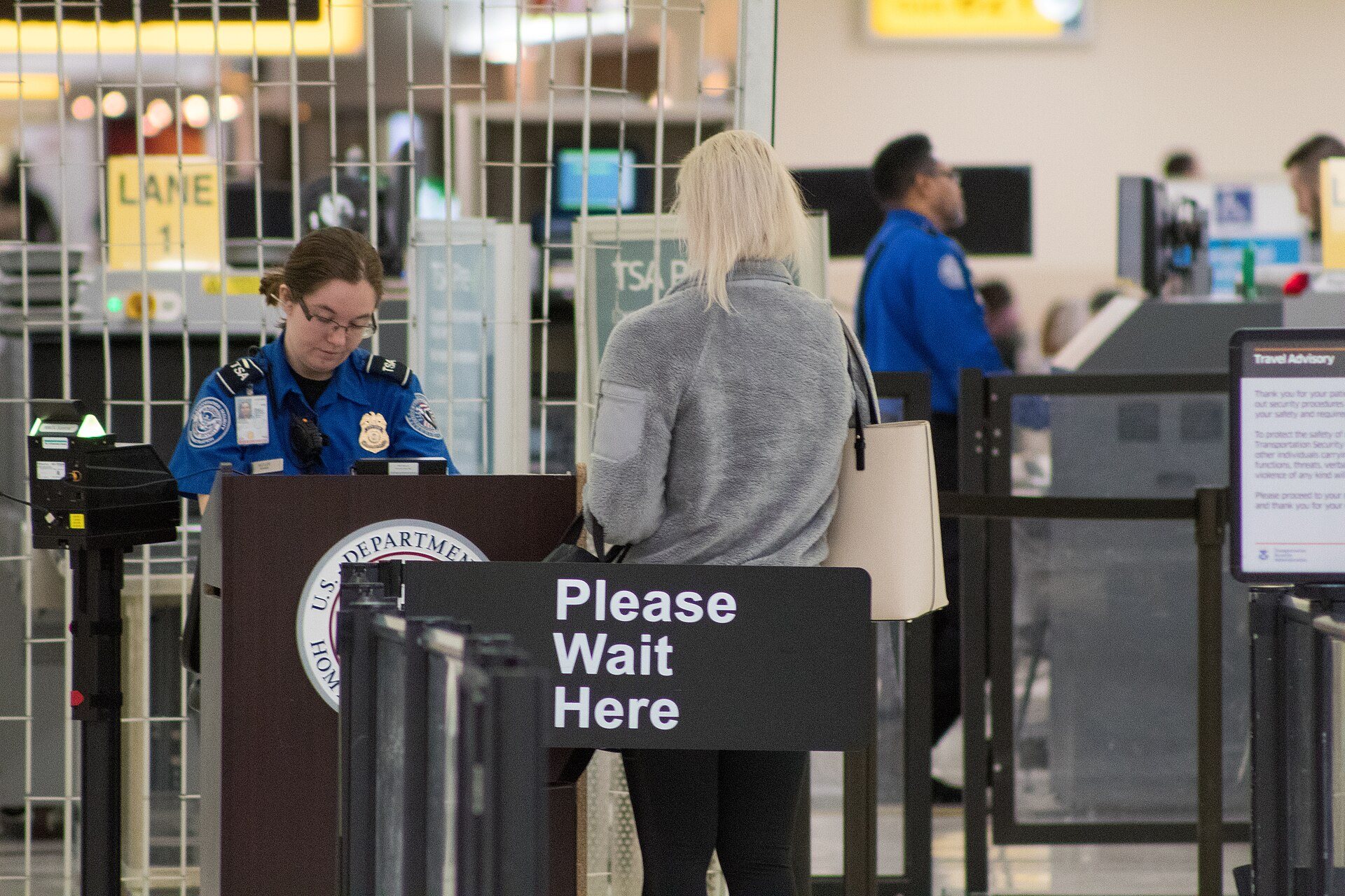
Security checkpoints are where passengers feel the airport. We capture the full checkpoint experience, from pre-security queuing through screening to the recompose area, and publish it live to operations staff, TSA coordinators, signage, the airport website, and mobile apps.
- Live wait time per checkpoint and lane type (PreCheck, Standard, blended), refreshed every 60 seconds
- Forecast wait times for the next 15 minutes to 4 hours, built from flight schedules and historical patterns
- Lanes open, staffing levels, and throughput captured automatically for the operations record
- Alerts when queues spill into non-standard areas or thresholds are breached
- TSA Real Time Wait Time ready: aggregated, lane-type data in the format TSA collects, with no PII
Curbside management: drop-offs, pickups, and curbside check-in
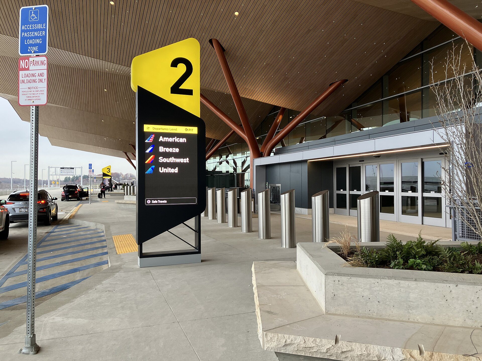
The curb is the busiest and least measured part of most airports. Private vehicles, taxis, rideshare, shuttles, and transit all compete for the same lanes while passengers unload, check bags at the curb, and move inside. We bring the same guidance-first approach we use for port truck routes to the airport roadway: measure everything, alert on what matters, and give operators the evidence to manage lanes, enforcement, and staffing.
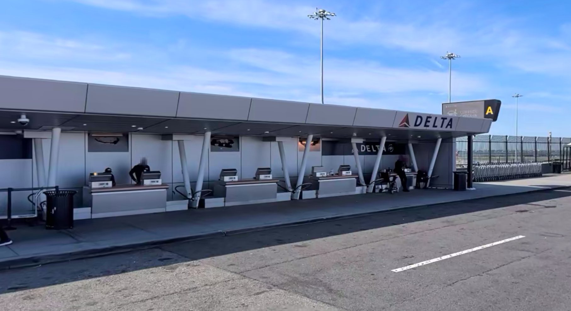
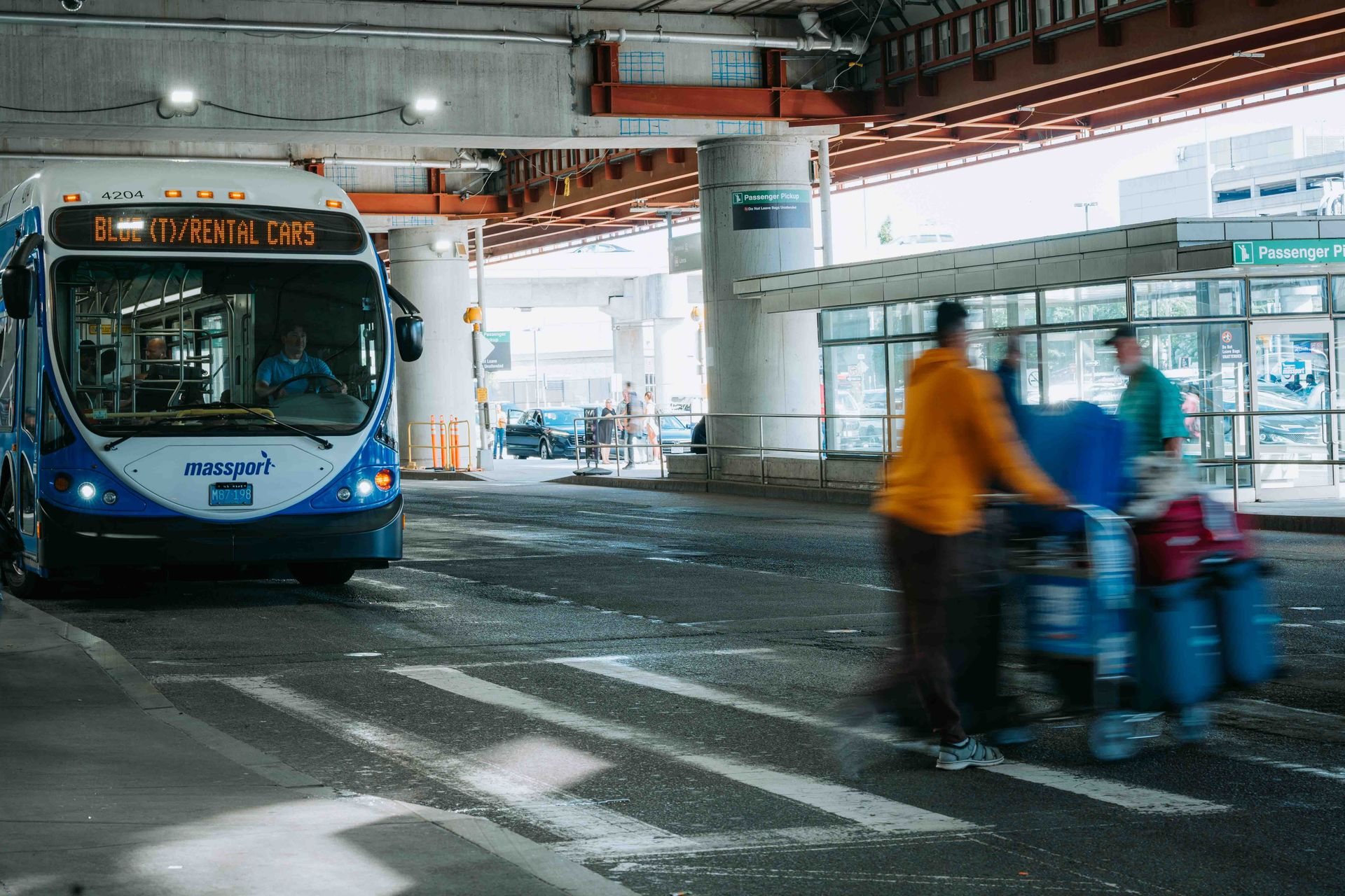
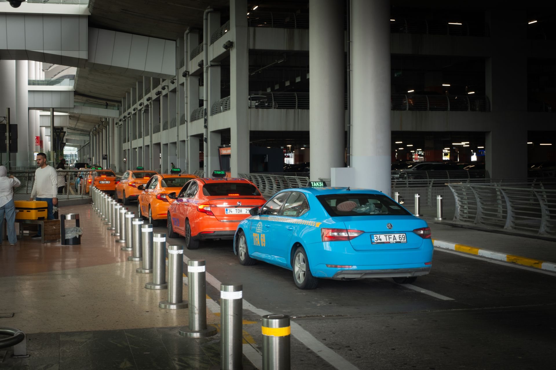
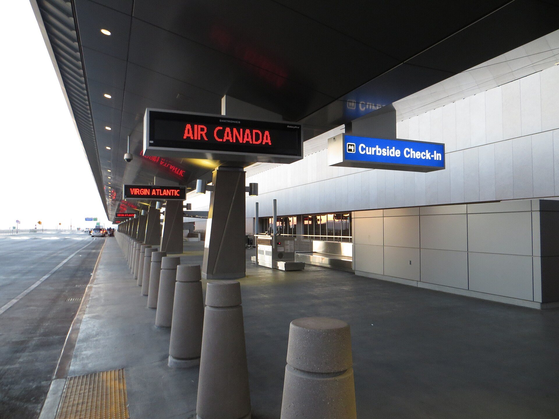
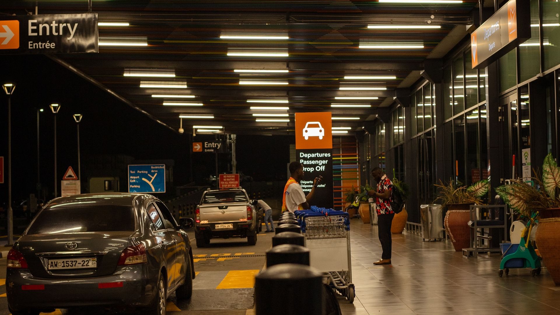
What we measure at the curb
- Vehicle dwell time by lane and by vehicle class (private, taxi, rideshare, shuttle, transit)
- Passenger arrivals by mode, including parking, rail, and rideshare lots
- Curbside check-in queue length and wait
- Parked and slow-moving vehicles, double parking, and lane blockages
What operators get
- Live curb occupancy and baseline-versus-now views for Terminals and levels
- Alerts on irregular behavior with configurable thresholds
- Evidence for guidance-first enforcement and lane policy changes
- Historical reporting for planning, construction phasing, and TNC agreements
Predictive queue models and API data ingestion
Sensors tell you what is happening. Prediction tells you what to do about it. Our backend ingests data from the airport’s own systems and partners through APIs, fuses it with sensor measurements, and runs proven prediction models to measure and forecast queue times.
Data we ingest
- Flight schedules and AODB feeds (scheduled and actual times, load factors)
- TSA lane status and staffing plans
- Parking, rideshare, and transit arrival feeds
- Curb, checkpoint, and baggage sensor streams
- Weather, events, and historical demand
Models we run
- Queueing models calibrated to measured arrival and service rates
- Time-series and machine learning forecasts by lane type and time of day
- Baseline and anomaly detection for congestion and irregular behavior
- Scenario tools: lanes open, staffing, and construction impacts
Where it goes
- Operations dashboards with role-based views and custom reports
- Public wait times on signage, FIDS, the airport website, and mobile apps
- Alerts by email, SMS, and integration with airport operations systems
- Open REST APIs so airport partners can build on the data
Federal research roots: FHWA and the Saxton Transportation Operations Laboratory
Our team’s engineering background includes supporting the Federal Highway Administration at the Turner-Fairbank Highway Research Center, where we led design and deployment of the Saxton Transportation Operations Laboratory: custom roadside sensing infrastructure, connected vehicle data pipelines, and the back-end integration that turns field data into operations decisions. We apply the same methods to the airport journey. Our goal is true home-to-gate travel time: from the regional roadway to the airport, through the curb, check-in, and TSA, to the gate. Airports get one continuous measurement of the passenger experience instead of disconnected snapshots.
Privacy by design
Passenger privacy is a scoring criterion for every airport we work with, and it is a design constraint for us from day one. Our systems are built so that protecting the public is not a configuration option but the only way the system operates.
- No facial recognition and no biometrics, in any sensing mode
- Video is processed at the edge: faces masked before storage, only counts, paths, and dwell leave the device
- LiDAR and wireless sensing produce no images; wireless identifiers are hashed and rotated at the sensor
- Aggregate reporting with least-privilege access, encryption in transit and at rest, MFA, and SSO support
- Retention schedules and data ownership defined in writing with the airport, with a CCPA-aligned posture
How we deliver: integrate, deploy, operate, sustain
Sensing and analytics only create value when they are delivered on schedule, accepted by the people who use them, and kept running for years. ZDEVCO brings a full delivery organization to every airport program, not just a product.
Systems integration
Vendor-neutral integration of sensors, networks, and airport systems (AODB, FIDS, TSA feeds, parking and ground transportation) through open APIs. Interface control documents, factory and site acceptance testing, and commissioning against written acceptance criteria.
Rapid deployment
Pilot in weeks, production in months. Non-invasive installations that ride existing infrastructure (PoE, CCTV, network closets), badging-aware scheduling for sterile areas, and phased cutovers with zero operational downtime.
Proven delivery record
Successful deployments and sustained operations for public agencies: 16+ years of continuous operations at the Port of Oakland, truck parking availability systems live in seven states, 42+ managed sites, and 99.98% system uptime.
Operations and maintenance
24/7 network operations monitoring, SLA-tracked response and resolution times, tiered first through third level support, spares and RMA management, and certified monthly availability and health reporting.
Predictive maintenance
Telemetry from every sensor, gateway, and server feeds anomaly detection on health signals such as frame rate, signal strength, PoE budget, and storage. Condition-based maintenance resolves degradation before it reaches the dashboard, so we stay ahead of system issues instead of reacting to them.
System lifecycle management
Firmware and security patch management, configuration and as-built documentation, obsolescence tracking, and technology refresh planning. Because sensors swap in and out behind a stable platform and API, we extend system life well beyond a single hardware generation.
Integrated program management
One accountable program manager leading a cross-functional team of systems engineers, field technicians, software developers, cybersecurity, and operations staff, and coordinating airport stakeholders across operations, IT, TSA, airlines, and ground transportation. Schedule, risk, and change control are managed in one place.
Agile delivery methodology
Short sprints, demo-driven reviews, and a requirements traceability matrix that ties every feature to a customer use case. User acceptance testing with success criteria the airport controls. The result is speed with accuracy: systems and programs delivered quickly, and delivered right.
Understand our customers’ use cases, meet their requirements precisely, and deliver systems their people can depend on every day.
Why ZDEVCO for airport pax flow
We are program managers and technology integrators. We scale pilots into production, adopt best-of-breed commercial sensors and third-party systems, and train the people who will run the system every day. Headquartered at the Port of Oakland, we are Port of Oakland LBA/VSBE certified, SAM.gov registered, and an SBA Small Disadvantaged Business. With our Streetline platform partners we bring proven sensing, cloud analytics, and public data publishing to every zone of the airport.
Planning a pax flow or curbside program?
Talk to us about a sensor-agnostic pax flow pilot, a TSA wait-time program, or a full home-to-gate deployment.
Photos and footage: Pexels (free license); Wikimedia Commons, CC0 and CC BY-SA 4.0 (Las Vegas curbside photo by Sunnya343). Detection visualizations are ZDEVCO illustrations of system output.